

Typus Orbis Terrarum
1570 · Abraham Ortelius · Library of Congress / reproduction on Wikimedia Commons
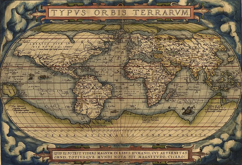
Context map for comparing the location of America, the Pacific and Asia in the period of the atlas.
How to interpret the map
It is a general representation; its link with the voyages is geographic, not proof of use on board nor a reconstruction of their itineraries.
To assess this map, compare its production date with the dates of the voyage you are studying. A territory or place name appearing on the chart does not by itself establish an arrival, landing or occupation. Open the provenance record to check the work’s identification, and consult each voyage’s sources to examine its itinerary.
Provenance and rights
Abraham Ortelius. Library of Congress / reproduction on Wikimedia Commons. Provenance of the reproduction indicated in its link.

Send comments to the author
Found an error or have information to contribute? Write privately to the author.