

Portolan chart of the American Pacific coast
In this entry · 8 sections
Mid-16th century · Anonymous, probably Spanish · Library of Congress
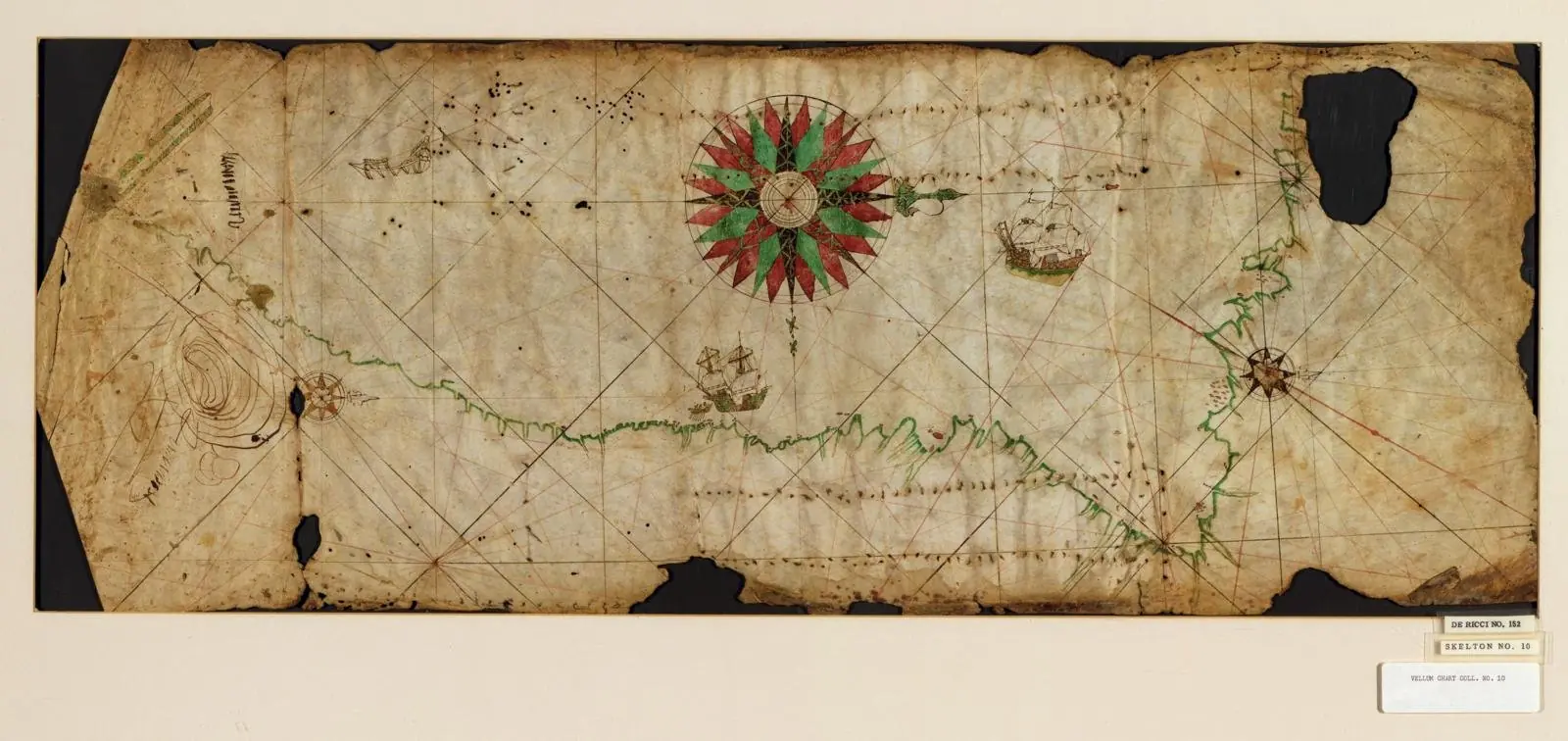
It records the advance of the exploration of the Pacific coast; possibly one of the first charts to depict the Galápagos, sighted on Friar Tomás de Berlanga's voyage of 1535.
Work identification
- Manuscript chart
- Library of Congress
- Alta
Credits and image provenance
Library of Congress, Geography and Map Division
Reproduction record · No known use restrictions, according to the Library of Congress
Related expeditions
Related protagonists
Maps
- Americae sive quartae orbis partis nova et exactissima descriptio
- La descrittione di tutto il Peru
- Americae sive novi orbis, nova descriptio
- Descriptionis Ptolemaicae augmentum: set of plates
Art
Related milestones
Sources of the related expeditions
- [B17] Francisco Pizarro González, Diccionario Biográfico Español
- [B31] History of the Conquest of Peru
- [B34] New Chronicle and Good Government
- [B59] The descendants of licenciado Gaspar de Espinosa
- [B60] Origins of the San Juan governorship: Gaspar de Espinosa
- [B63] True Account of the Conquest of Peru
- [B74] Narrative of the Incas (Suma y narración de los Incas)
- [B88] Reports on the Discovery of Peru
Send comments to the author
Found an error or have information to contribute? Write privately to the author.